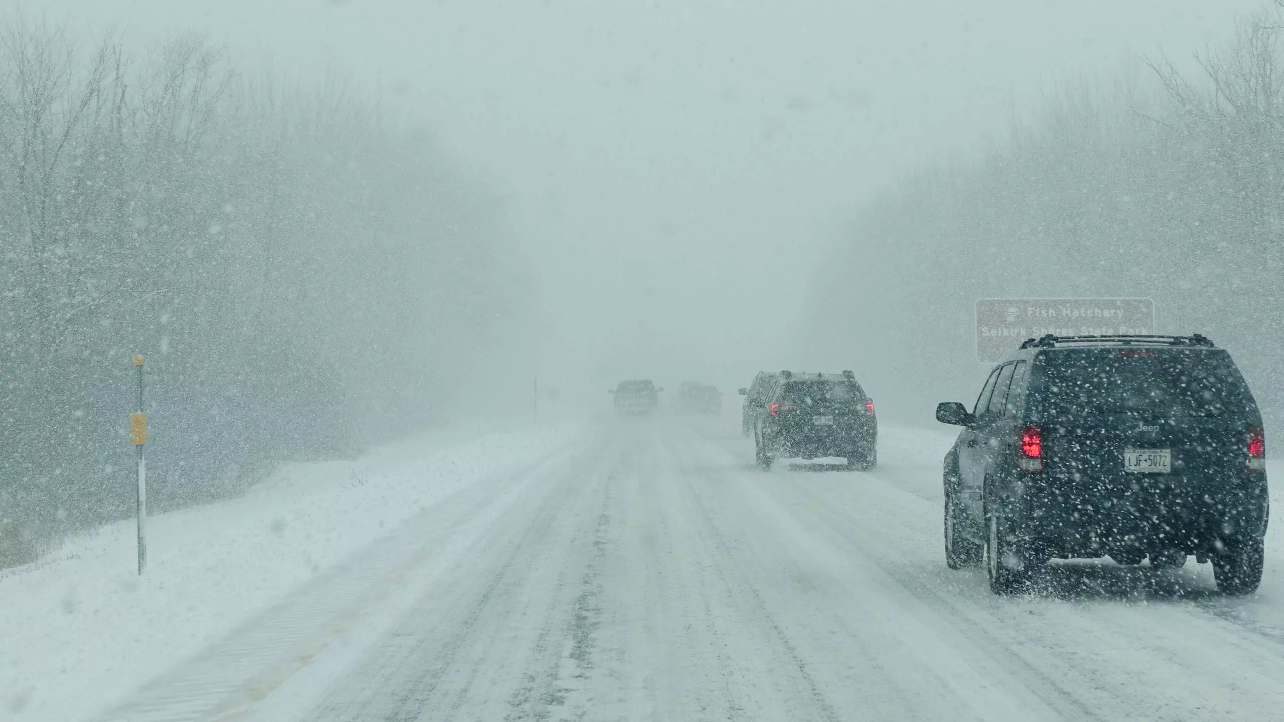
Severe Winter Weather Forecast: Up to 18 Inches of Snow Expected
ByEdward Loh
Northern regions are bracing for a substantial winter weather event, with meteorologists forecasting significant snow accumulation. The primary concern lies with the potential for heavy snowfall, which could reach up to 18 inches in higher elevations. This weather system is also expected to bring strong winds and a notable drop in temperatures, impacting travel and daily life for residents in affected areas. Authorities are urging preparedness and caution as the storm progresses.
Detailed Outlook: Arctic Blast Brings Heavy Snow and Chilling Winds
The National Weather Service (NWS) office in Fairbanks has issued a winter storm warning, effective from Tuesday afternoon at 2 p.m. ET until Thursday evening at 8 p.m. ET. This warning primarily targets the southern slopes of the Western Brooks Range and the Noatak Valley, encompassing locations such as Red Dog Mine, Noatak, and Walker Lake. Within these areas, total snow accumulations are projected to range from 6 to 18 inches. Accompanying the snowfall will be wind gusts potentially reaching 35 mph, leading to considerable blowing snow and severely diminished visibility, creating hazardous driving conditions.
For regions situated below 800 feet, the forecast indicates a higher likelihood of rain, with some mixed precipitation possible near Red Dog Mine on Tuesday. The most intense period for precipitation is expected to be between Tuesday and Wednesday, with Wednesday specifically marked for the heaviest snowfalls. Following this, temperatures are predicted to cool significantly from Wednesday into Thursday, exacerbating the impact of the storm. Travel safety remains a paramount concern, and the NWS advises motorists to equip their vehicles with emergency supplies, including an extra flashlight, non-perishable food, and adequate water.
This latest warning extends a series of winter weather advisories that have been in effect since the weekend. An earlier warning for the same zone, which concluded Sunday evening, had anticipated up to 20 inches of snow in higher terrains and wind gusts up to 55 mph. Another warning covering the southern slopes of the Central Brooks Range, including a section of the Dalton Highway, predicted 8 to 16 inches of snow in two distinct phases and expired early Tuesday morning. Additionally, a winter weather advisory for various highways, including the Dalton, Elliott, Steese, and Taylor highways, concluded Tuesday morning, with the NWS reporting that most of the snow from that particular system had passed, leaving only isolated snow showers.
Drivers navigating through these winter conditions should be particularly aware of the impact of heavy snow on vehicle components. Modern LED headlamps, while energy-efficient, do not generate enough heat to melt accumulated snow and ice, unlike older halogen systems. This issue can be more pronounced with wet, clinging snow. Furthermore, critical driver-assist systems, such as automatic emergency braking and lane-keeping assist, rely on radar units in bumpers and grilles, and cameras mounted on windshields. Heavy snow can easily obstruct these sensors, rendering these safety features temporarily inoperable. Vehicle manufacturers, including Ford, recommend regularly clearing snow and ice from headlight lenses, the front bumper, and the camera area, as well as windshields, especially during prolonged journeys, to maintain optimal functionality and safety.
This severe winter weather underscores the importance of staying informed about local forecasts and taking proactive measures to ensure safety. The combination of heavy snow, strong winds, and freezing temperatures can create dangerous situations for both travelers and those staying indoors. Adhering to official warnings and preparing for potential disruptions are crucial steps in mitigating the risks associated with such an intense weather system. As the storm unfolds, communities will need to come together to support each other and navigate these challenging conditions responsibly.
About the author
Edward Loh
Former editor-in-chief of Motor Trend, representing mainstream automotive media and testing expertise.